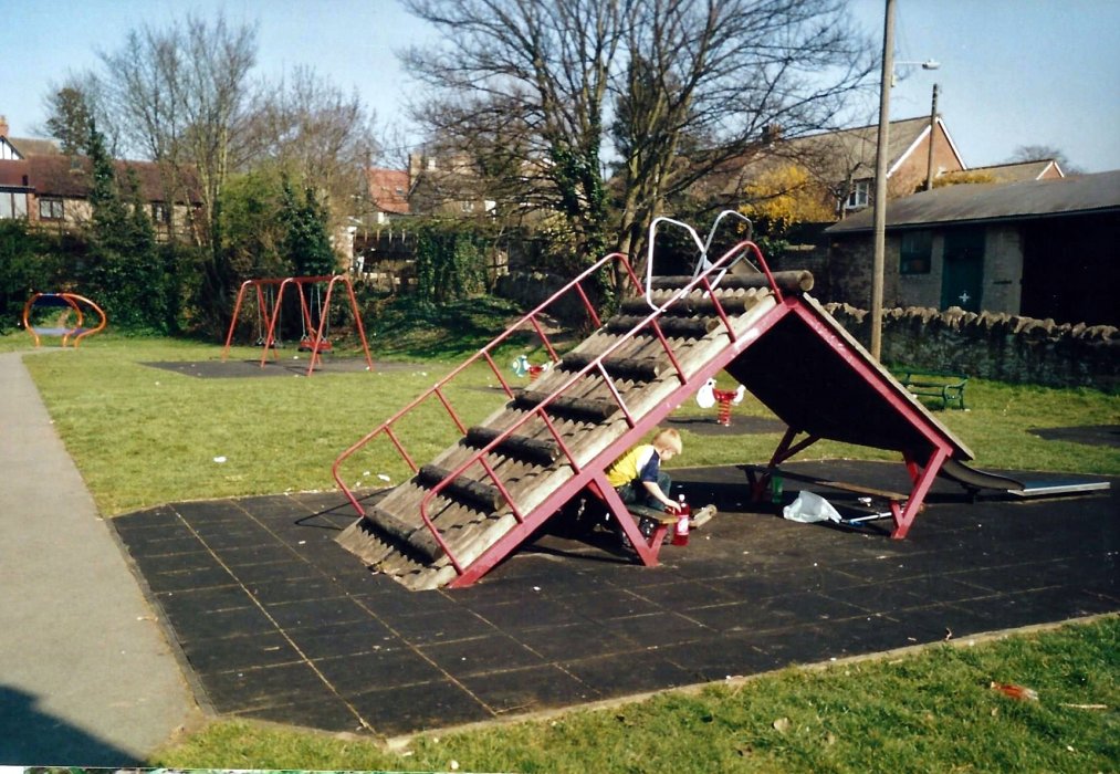
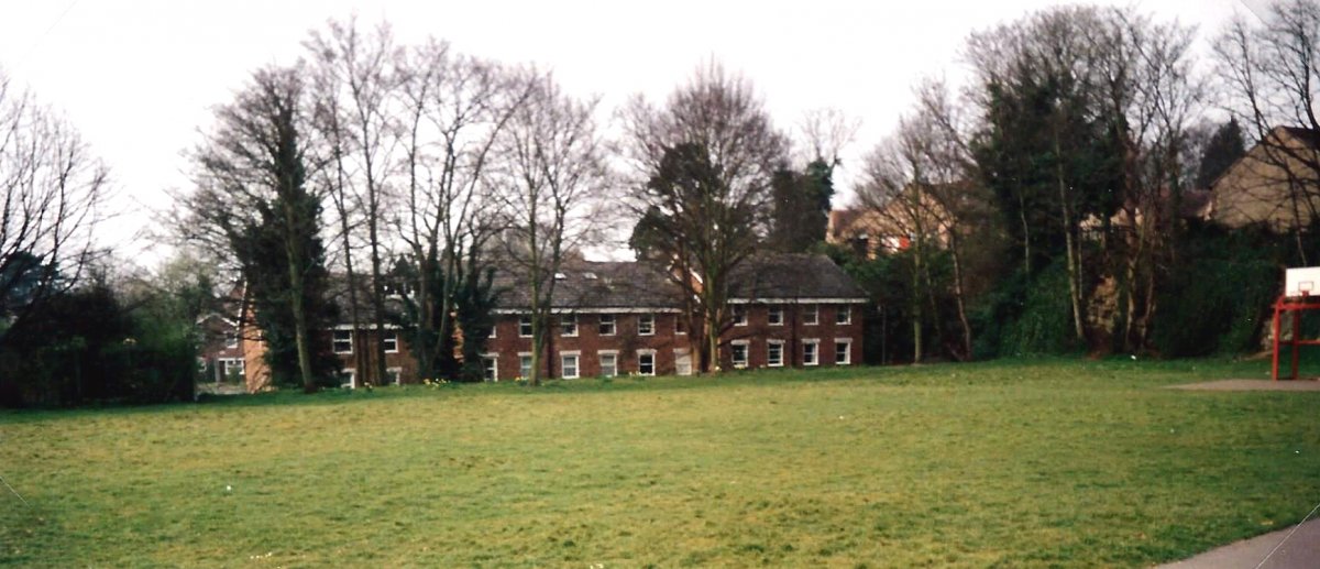
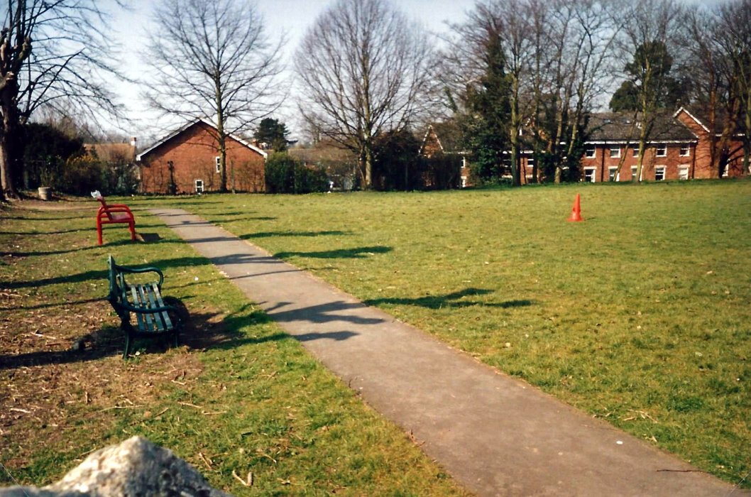
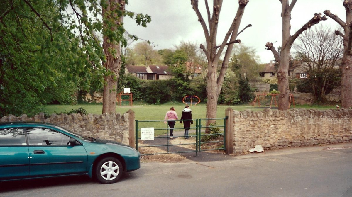
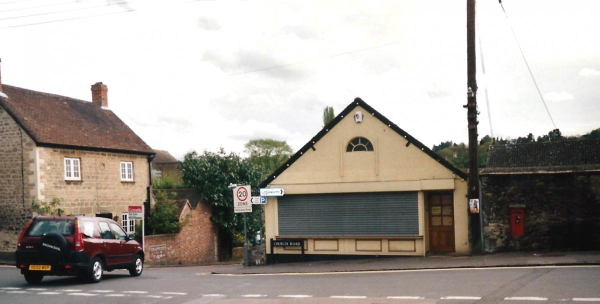
Wheatley Village Archive
History of buildings, people and events in this Oxfordshire village
Menu
Home
Archive
Introduction Search Map
WW1 Men
Introduction Search Map
Full Map
Publications
Genealogy
History Site

Recreation Ground

PREVIOUS RECORD
BACK TO LIST
NEXT RECORD
  • Recreation Ground 2004
  • Recreation Ground 2004
  • Recreation Ground 2004
  • Recreation Ground 2004
  • Crossroads Church Road and Holloway, 2004
  • looking east along Church Road, 2004
  • 42 Church Road for sale in 2004
  • 40 and 42 Church Road in 2004
  • 40 and 42 Church Road in 2004
Archive Notes:

Photos looking towards Templars Close, the Lock-Up or Round House, the old Co-op store, Pound Cottage & of the recreation ground taken in 2004 - 4 pages

Map Address:
  • Church Road, Recreation Ground, Quarry and Lock-up
Related Items:
  • Stone Pit and Lock-Up
  • The Quarry
  • The Lock-up
  • The Lock-up
  • The Lock-up Survey 2001
  • The Lock-Up or Round House
  • The Lock-Up or Round House
  • The Lock-Up or Round House
  • The Lock-Up or Round House
  • The Lock-Up or Round House
  • The Lock-Up or Round House
  • The Lock-Up or Round House
  • The Lock-Up or Round House
  • Quarry face
  • Quarry face
  • Wheatley Quarry
  • Booklet of eight views of Wheatley c.1950
  • The Hinton Collection of early postcards of Wheatley - 1913-1915
  • Postcard
  • Recreation Ground
  • Aerial view taken in 2000
  • Bernard Hickey painting
Archive Number:
  • A 693
© The Wheatley Society | Web Site: Wotnot Web Works