


The Quarry

Archive Notes:
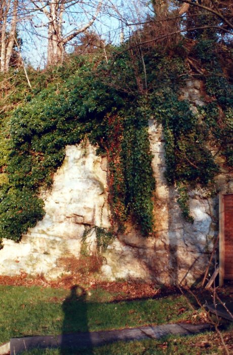
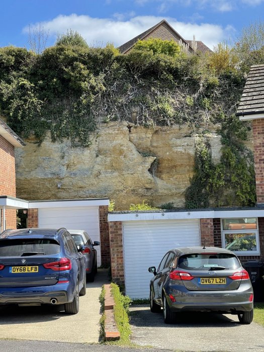
The quarry face at the back of the Recreation Ground and in Templar's Close to give an idea of its depth. From the position of this two photos, the ground slopes down considerably to the Chruch Road frontage of this close.
Map Address:
Related Items:
- Stone Pit and Lock-Up
- The Lock-up
- The Lock-up
- The Lock-up Survey 2001
- The Lock-Up or Round House
- The Lock-Up or Round House
- The Lock-Up or Round House
- The Lock-Up or Round House
- The Lock-Up or Round House
- The Lock-Up or Round House
- The Lock-Up or Round House
- The Lock-Up or Round House
- Quarry face
- Quarry face
- Wheatley Quarry
- Recreation Ground
- Booklet of eight views of Wheatley c.1950
- The Hinton Collection of early postcards of Wheatley - 1913-1915
- Postcard
- Recreation Ground
- Aerial view taken in 2000
- Bernard Hickey painting
- Assorted press cuttings from 1980 to 1982
Archive Number: