


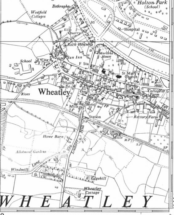
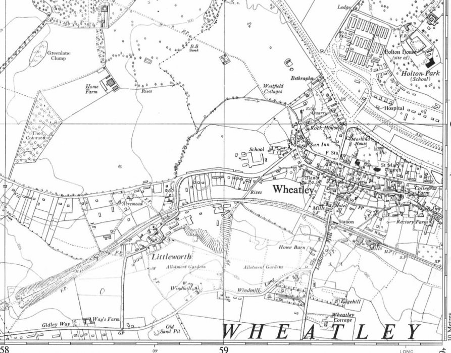
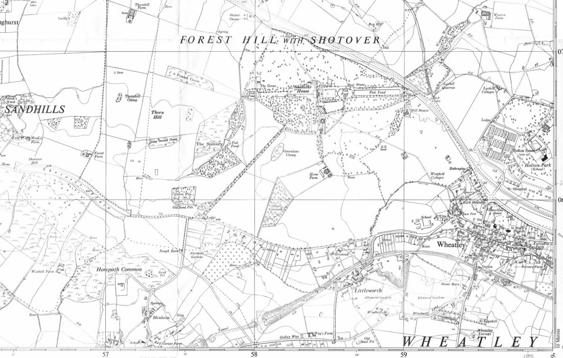
OS Map 1960

Archive Notes:
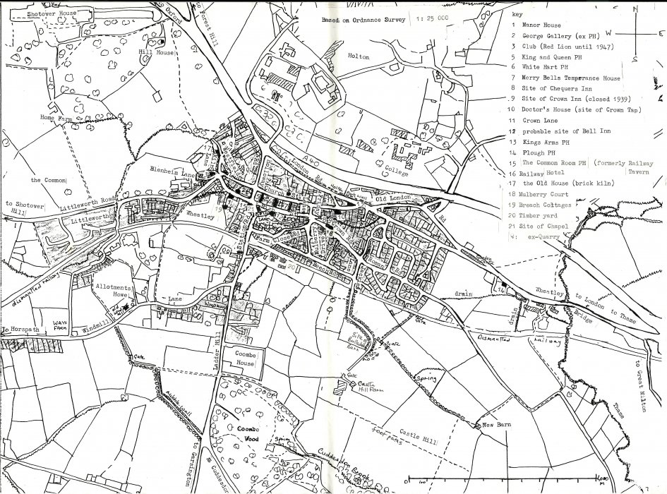
OS Map 1960. Also in A3 ring binder. The hand-drawn map comes from a 1988/9 study 'The Development of Communications in Wheatley' by Bryony Nielsen and Katie Meyer (held on the reference shelf, Acc 2666).
The remainder of Wheatley to the east with the rest of Church Road, Old London Road and London Road is shown from another 1965 map, https://maps.nls.uk/view/207352103 . Note that Anson Close, built that year, is missing.
Archive Number: