


44-55 High Street
Archive Notes:
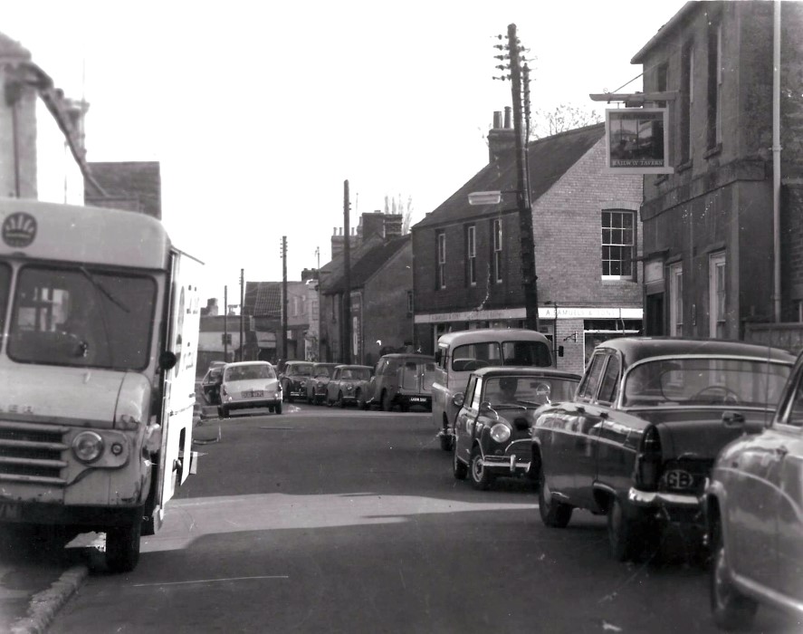
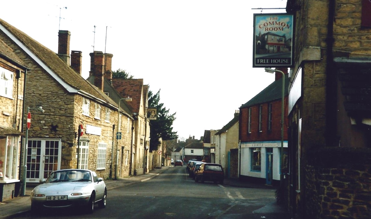
2 photos:one 1960s - showing 2 way traffic with C registered vehicles (from 1965) , the other later showing 'Common Room' pub sign
Map Addresses:
Related Items:
- Pharmacy opens in Wheatley 1993
- 41-43 High Street, Fernleigh
- 44 High Street, The Railway Tavern or Railway Inn and view 44-55 High Street
- 43-55 High Street
- 44 High Street and view 46-55 High Street
- 40-55 High Street - postcards
- 45 High Street and view 43-55 High Street
- 47 High Street Ivydale
- 48 High Street and view 43-55 High Street
- 48 High Street and view 43-55 High Street
- 47 High Street, Ivydale
- 47 High Street, Ivydale
- 47 High Street, Ivydale
- Holloway Road & 43-53 High Street
- 40-55 High Street
- High Street postcard
- The Railway Inn or Railway Tavern
- 44-60 High Street
- 44-50 High Street
- Heavy Lorry blocks the High Street July 2010
- 50 High Street
- 50 High Street
- 52 High Street
- Postcard
- The old High Street late 1700s coaching days
- 53 High Street
- 53 High Street
- 53 High Street and 55 High Street
- 53 High Street
- 53-55 High Street
- Gostick stores
Men at Address:
Archive Number: